

happy hiking
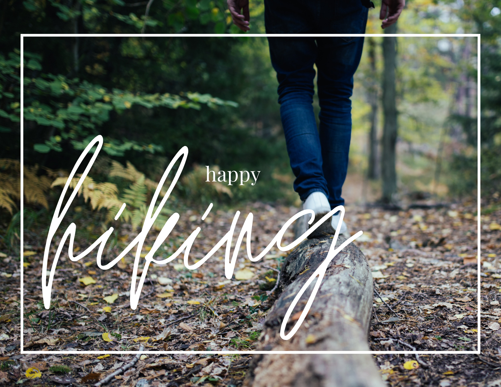
Hi friends! Our area is one not short in natural wonder, from waterfalls to miles of views, we’ve got a little bit of everything and something for everyone. One of the main reasons I love to call the Plateau my home is because of the breathtaking scenery and the abundant access to enjoy the natural world. And in times like these, spending time outdoors and absorbing the wondrous world around you can bring such happiness and healing to each of us. This brings me to the topic of this blog post, which is a curated list of a few of my personal favorite hiking trails! Be sure to get out and get some fresh air these next few weeks, and also be sure to follow all state, local, and CDC guidelines for outdoor activities!
The first trail I’ve chosen to highlight is one that’s near to my heart, primarily because it’s one of the first trails I can recall hiking with my family as a young girl - the Whiteside Mountain Trail located just between Highlands and Cashiers. It’s about two miles in length and is a moderately challenging hike. Whiteside Mountain rises to an elevation of 4,930 feet and is about 400 million years old (often cited as the oldest dated mountain in the world). If you’re lucky, rare peregrine falcons may even make their appearance as you soak up the views beyond the layered mountain ranges! Directions: From the intersection of Highway 107 and Highway 64 in Cashiers, drive 4.7 miles west on Highway 64, and turn left on Whiteside Mountain Road at the brown Whiteside Mountain Trail sign. Continue for 1.1 miles, passing Wildcat Cliffs Country Club on the right, and turn into the gravel parking area.
The second trail I’d love to highlight is one that will give your legs the workout of a lifetime, the High Falls Trail in Glenville located directly across from the Pine Creek Beach Access. The hike down to the falls through the gorge is steep and primarily made up of stairs. Going down is a breeze; it’s coming back up where you get your workout! Over fifty flights of stairs need to be conquered on your trek down and ascent back up over the span of about a mile. This hike is considered challenging, but the view from the base of the falls is like no other! Directions: From Cashiers, follow Highway 107 north and turn left on Pine Creek Road. In two miles, look for the High Falls sign on the right (across from the Pines Recreation Area).
The third trail I have chosen to highlight is the Mac’s Gap Trail in Panthertown Valley - popularly known as “the Yosemite of the East”. This trail is one of my more recent discoveries, but has quickly become one of my favorites! Panthertown Valley covers 6,700 acres and features incredible granite domes and cliffs, major waterfalls, numerous creeks, and many endangered plant species. The Mac’s Gap Trail is almost five-and-a-half miles long for the entire loop but can be modified for a “down and back” hike easily. The entire loop is rated as moderate, but a down and back modification can make the hike much less strenuous. As you descend to the valley floor on the trail, you’ll soon come into one of the most magnificent pine groves around! I’ve often hiked down to this point, strung up my hammock, and swung my cares away. Directions: Take US 64 East from Cashiers for 2 miles to Cedar Creek Road on your left. Take Cedar Creek Road for 2.3 miles to Breedlove Road on your right. Travel 3.3 miles to the end of the pavement for Breedlove Rd. Either park at the cul-de-sac or continue on the short gravel/mud road to the main parking area. This is the Salt Rock Gap entrance to Panthertown Valley, and I HIGHLY recommend bringing a map as the trails are not always blazed and can become confusing!
Thanks for joining me to learn a little bit about a few of my personal favorite hiking trails on the Plateau! If you have any questions or need any more information I’m happy to chat more about some of the fantastic things our area has to offer. Happy hiking!